 ⛺️ Campsite
Card Creek
Campsite · Cherryvale, Kansas
About this stopover
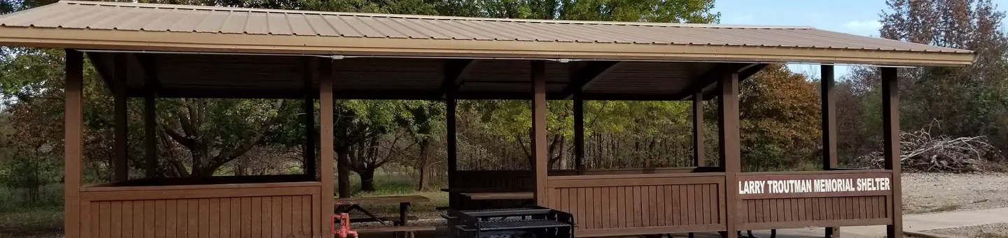
US Army Corps of Engineers campground, 20 sites
Overview
Card Creek Campground is located 5 miles west of Independence Kansas.
Recreation
There is very good fishing at Card Creek and there is a hiking trail adjacent to the campground. Camping is available year round. It is located near the Kansas Department of Wildlife, Parks and Tourism hunting areas.
Facilities
There are 15 electric campsites and 5 primitive campsites. There is one shower building restroom and one vault toilet. There is a boat ramp and a dump station.
Natural Features
Card Creek Campground is located along Card Creek which flows into Elk City Lake.
Nearby Attractions
The City of Independence is located 5 miles east of the park. Located near the Elk River Hiking Trail, for more information visit www.kansastrailscouncil.org.
Location
- Save stops and find them on every device
- Build trips along your route
- Review places and add photos
Reviews
Nearby places
Browse Kansas →
Opens Recreation.gov in a new tab. They take the booking, not us, and we earn nothing on it.
Data source: Recreation.gov View on the source site Information last updated 25 February 2026
Check your email
We have sent a confirmation link to .
Confirm your address and sign in, and we will bring you back to this page.